The City of Harrisonburg offers various walking/running trails throughout the various parks.
- Purcell Park
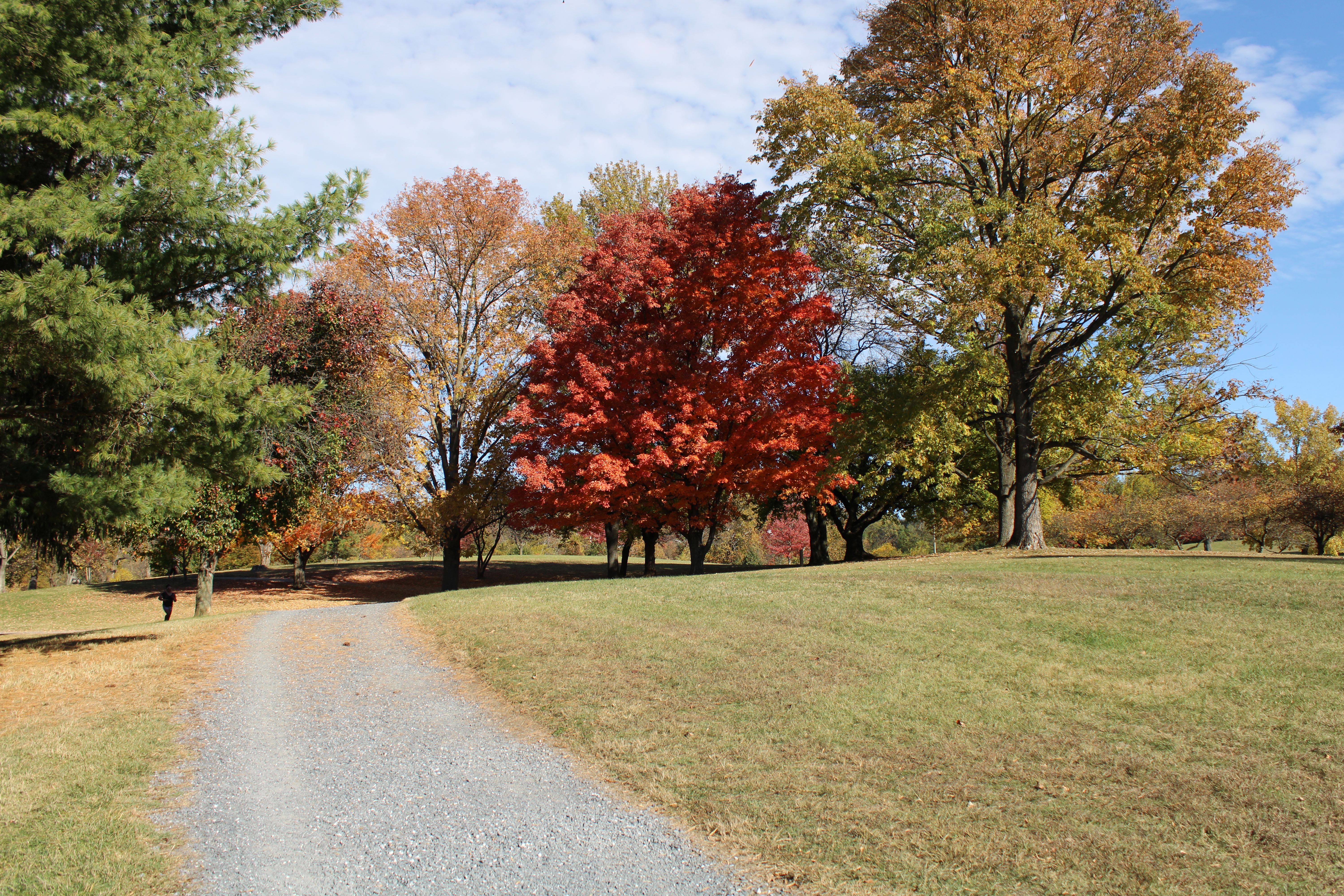
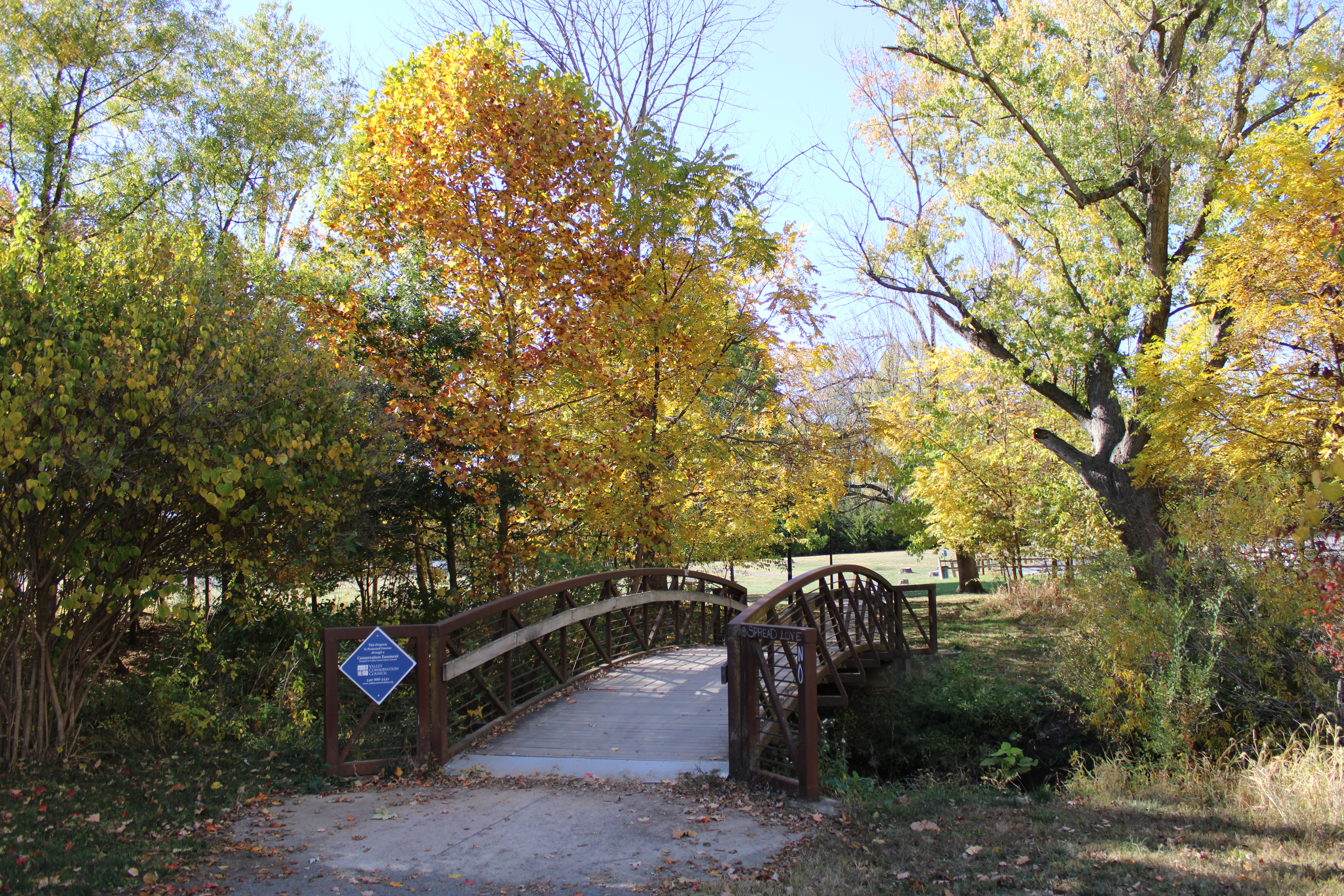
Purcell Park has a 1.5-mile path around the park and is a popular target among Harrisonburg residents.
Purcell Park map with walking paths [PDF].
- Ralph Sampson Park
Ralph Sampson Park has a paved path looping the perimeter of the park.
- Smithland Athletics Complex
Smithland Athletics Complex has a natural surface trail (0.75 miles) as well as comfort stations.
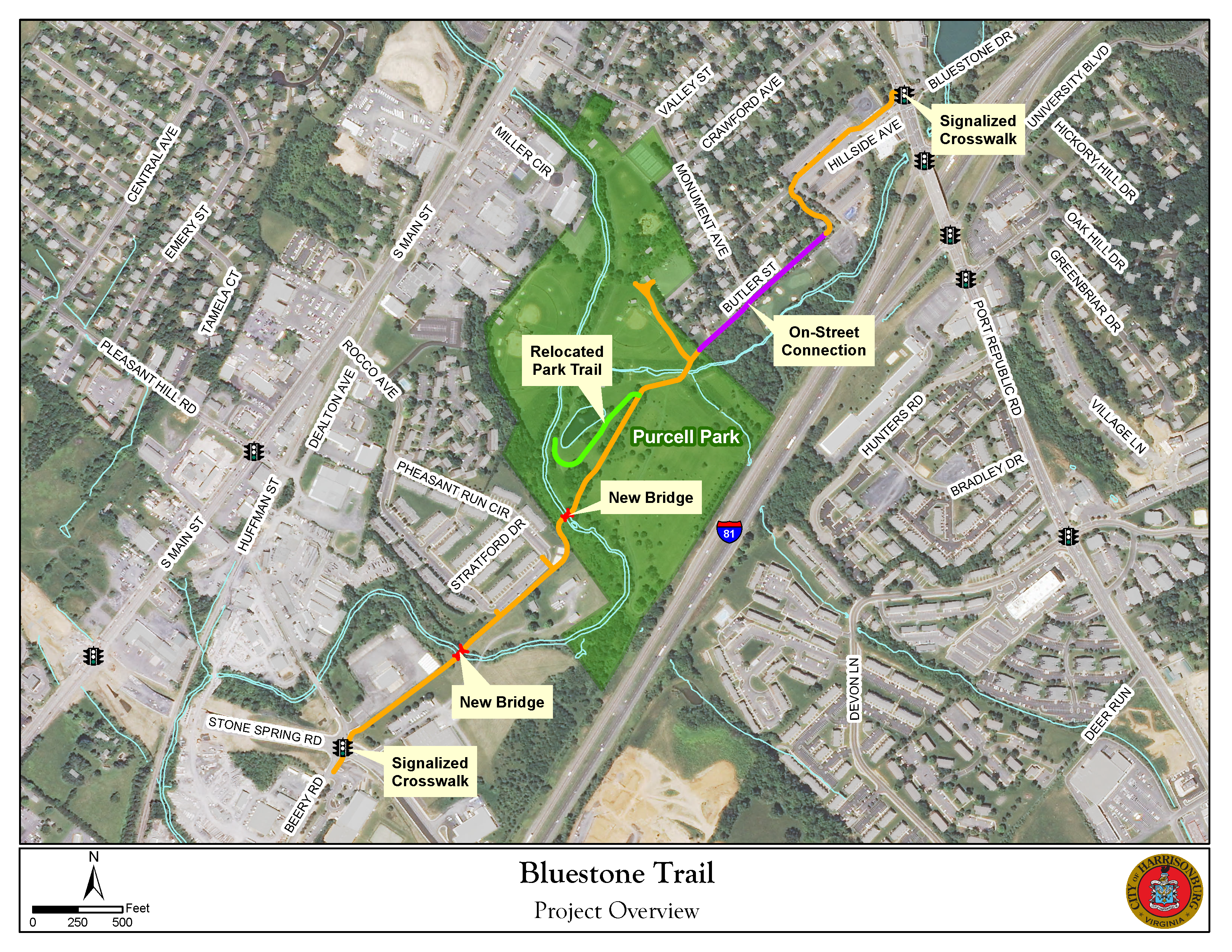
- Bluestone Trail
This 2-mile shared-use path connects James Madison University to Stone Spring Road, exploring JMU Campus, Purcell Park, and neighborhoods in between. The shared-use path is 10-feet wide, hard surfaced, and is used by many walkers, joggers, and bicyclists for transportation and recreation.
Trail Information
Challenge level: Moderate
Distance: 2 miles
Elevation change: 110 feet, grades up to 14%
Terrain: 10-feet wide hard surfaced trail with short on-street connection
Parking: Parking is available at Purcell Park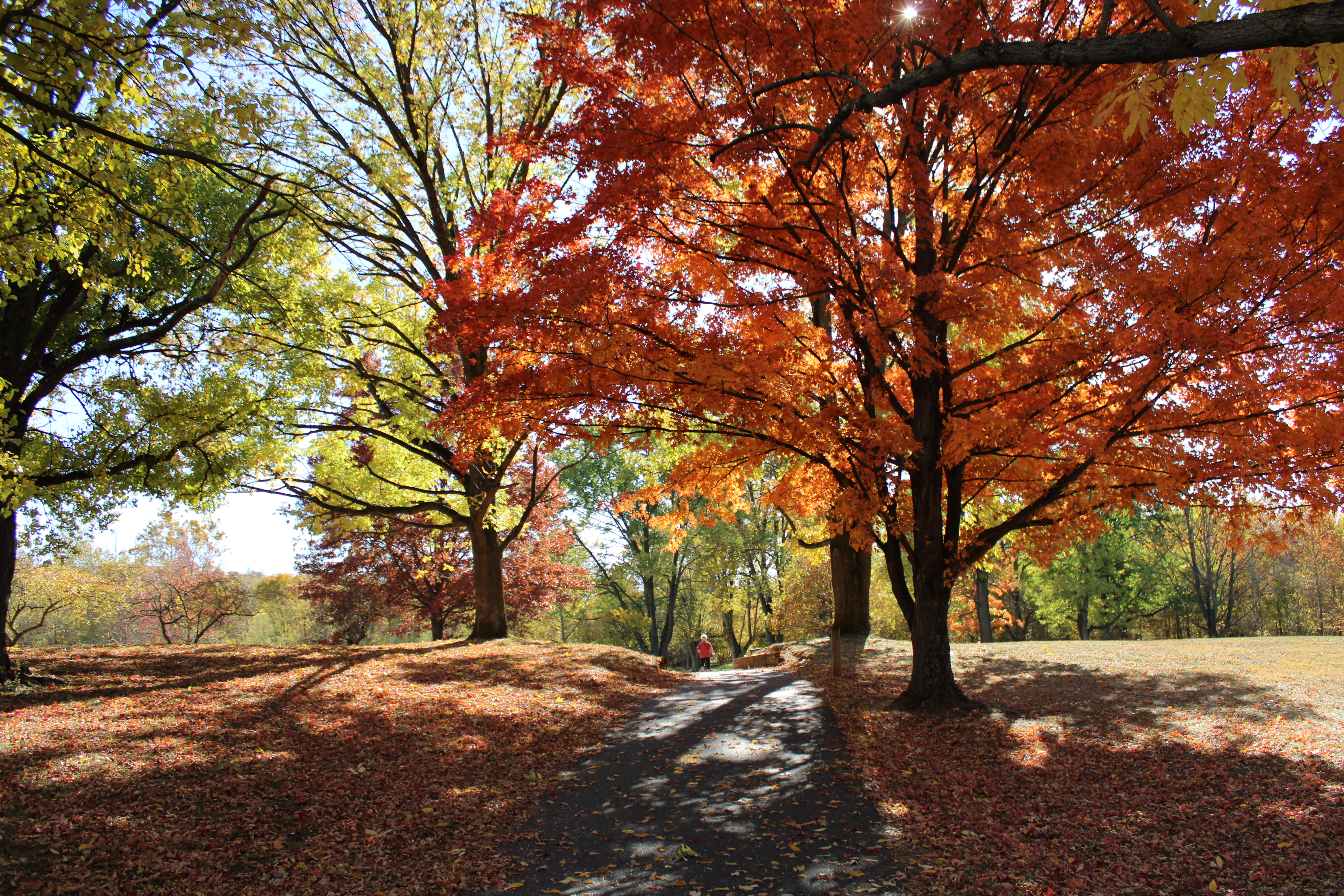
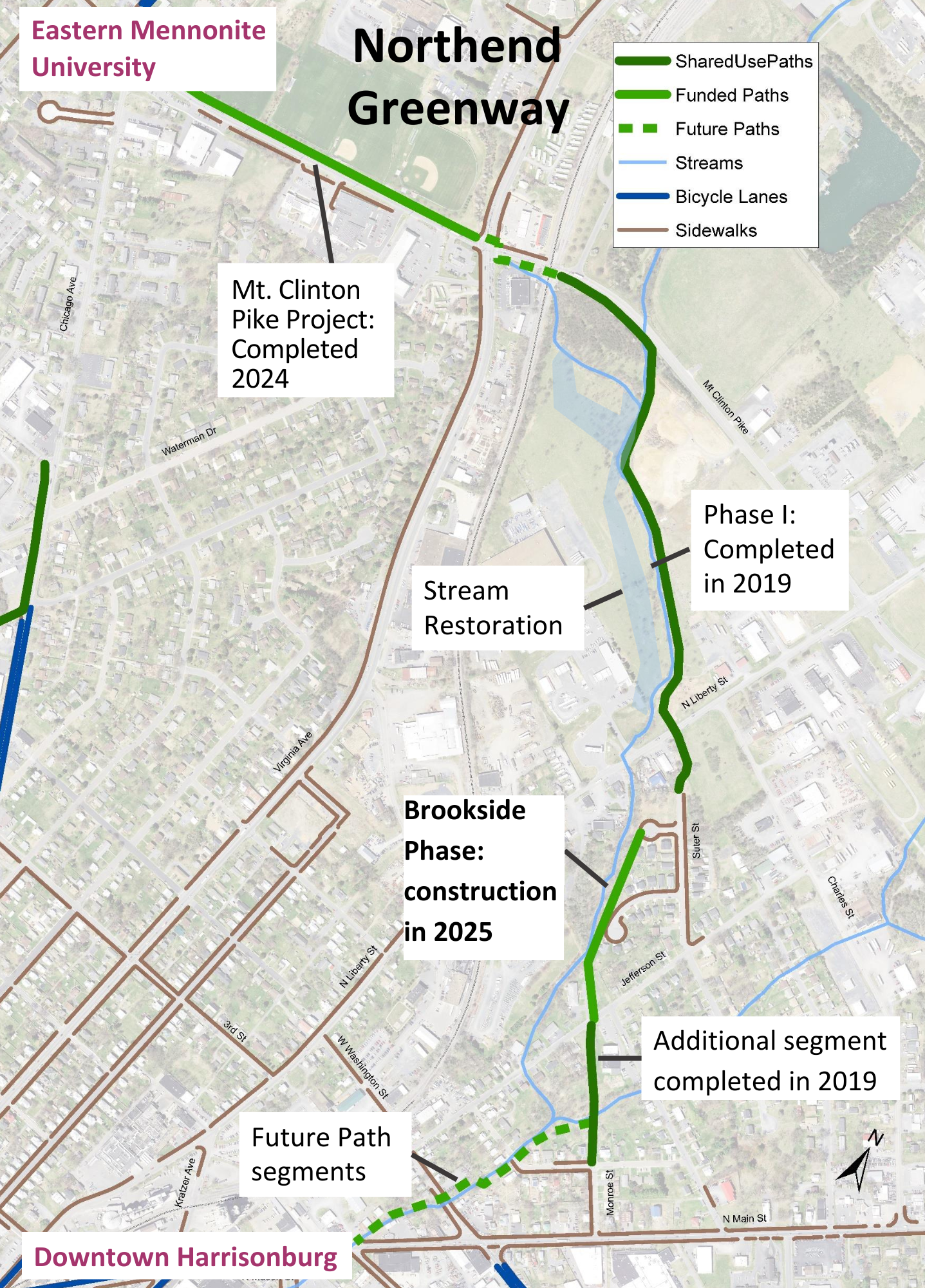
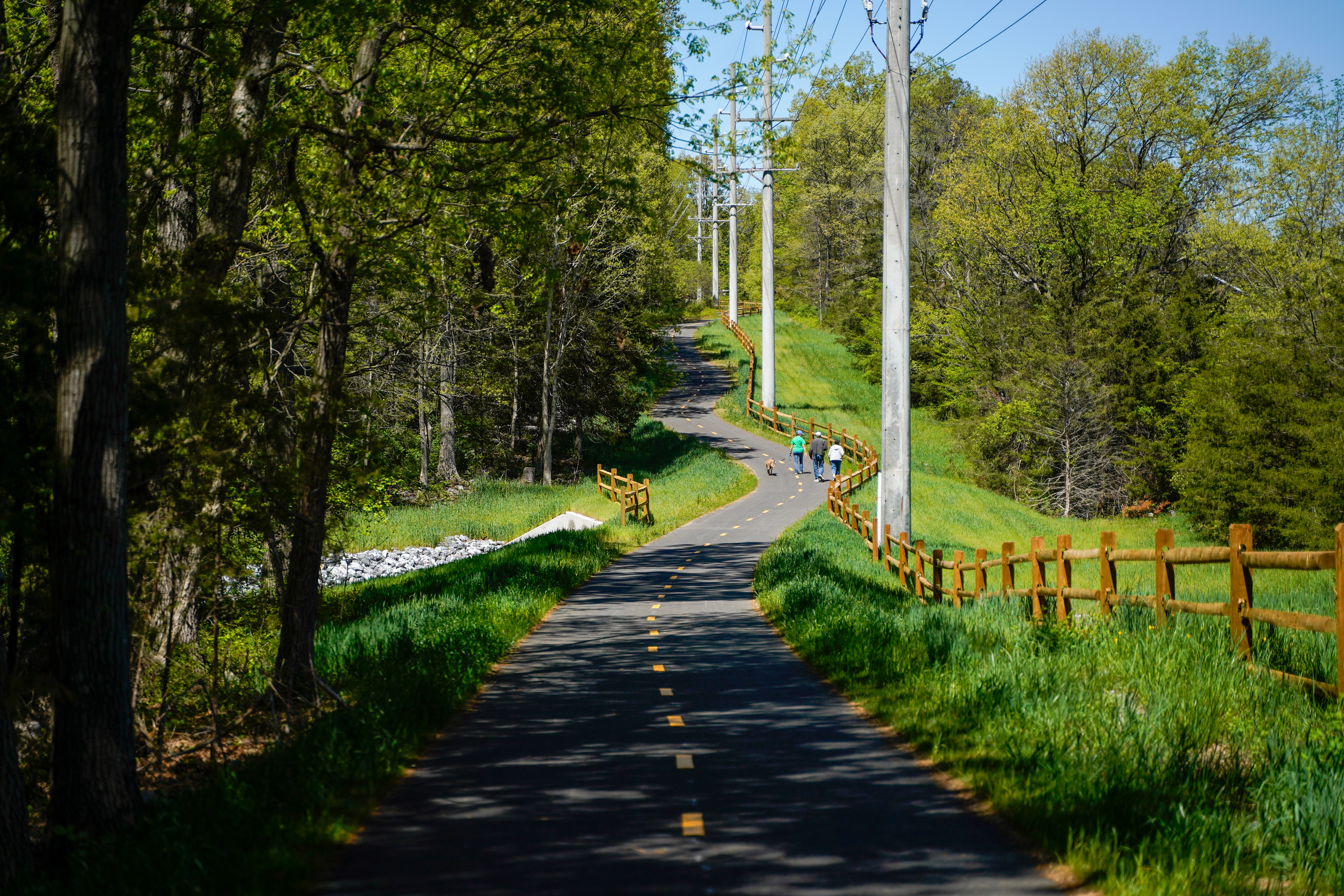
- Northend Greenway
Northend Greenway This 1-mile shared-use path connects neighborhoods and destinations in the north part of the city. It is envisioned to link Virginia Mennonite Retirement Community, Eastern Mennonite University, Eastern Mennonite School, Downtown Harrisonburg, and more. The Northend Greenway is being constructed in multiple phases, and the most recent phase along Mt. Clinton Pike opened in 2024. The City continues to work with stakeholders and funders to obtain the resources needed to build the remaining segments of the Greenway.
Trail Information
Challenge level: Easy
Distance: 2.5 miles planned
Elevation change: 26 feet, minimal slopes
Terrain: Hard surfaced trail with short on-street connections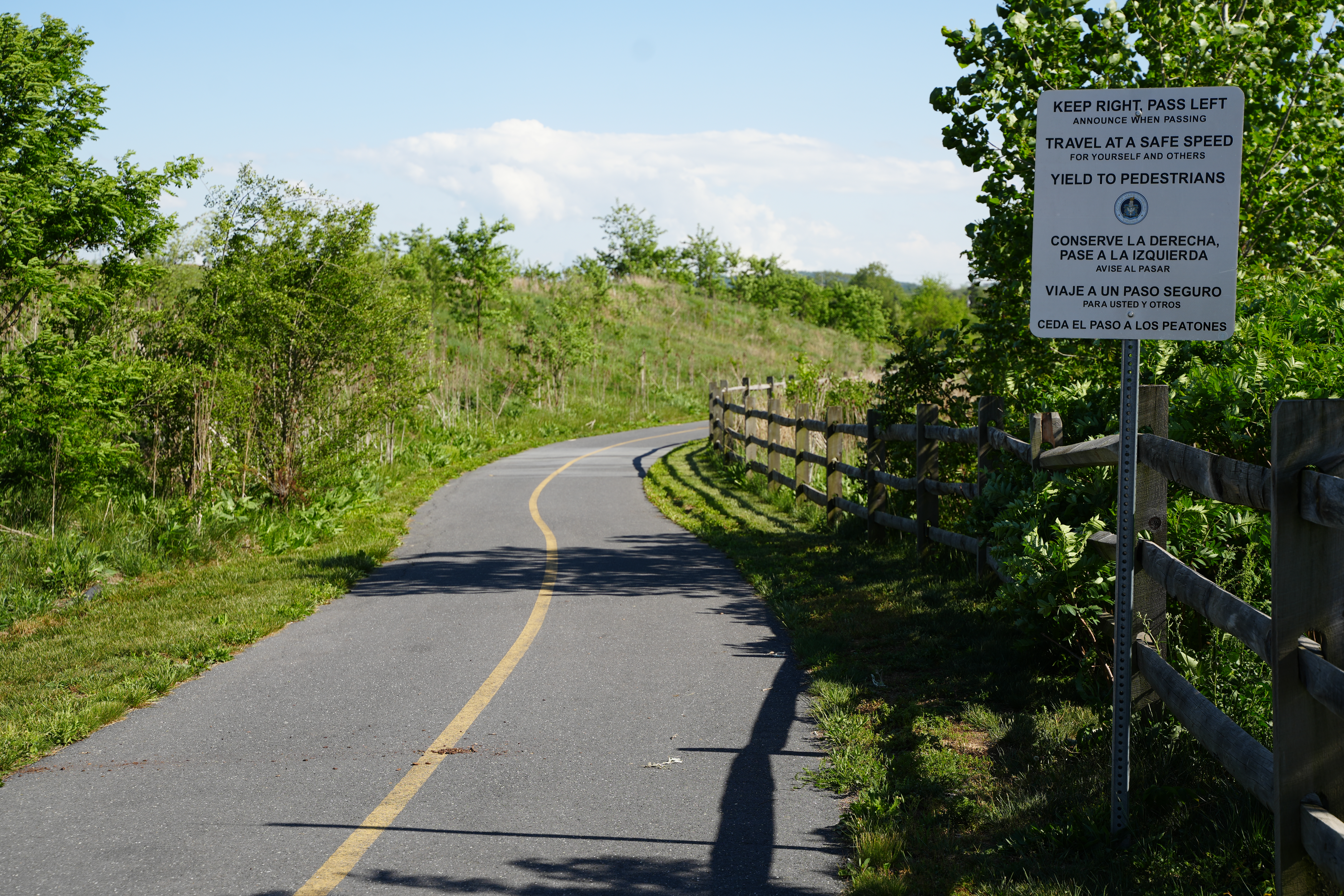
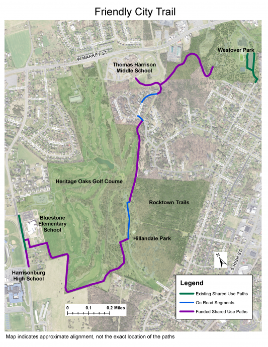
- Friendly City Trail
This 2.2-mile shared-use path that connects Harrisonburg High School and Bluestone Elementary to Thomas Harrison Middle School and Westover Park, meandering alongside Heritage Oaks Golf Course and through Hillandale Park on its course. The shared-use path is hard surfaced and is used by many walkers, joggers, and bicyclists for transportation and recreation.
Trail Information
Challenge level: Easy
Distance: 2.2 miles
Elevation change: 280 feet, grades up to 6%
Terrain: Hard surfaced trail with short on-street connections
Parking: Parking is available at Hillandale Park and Westover Park.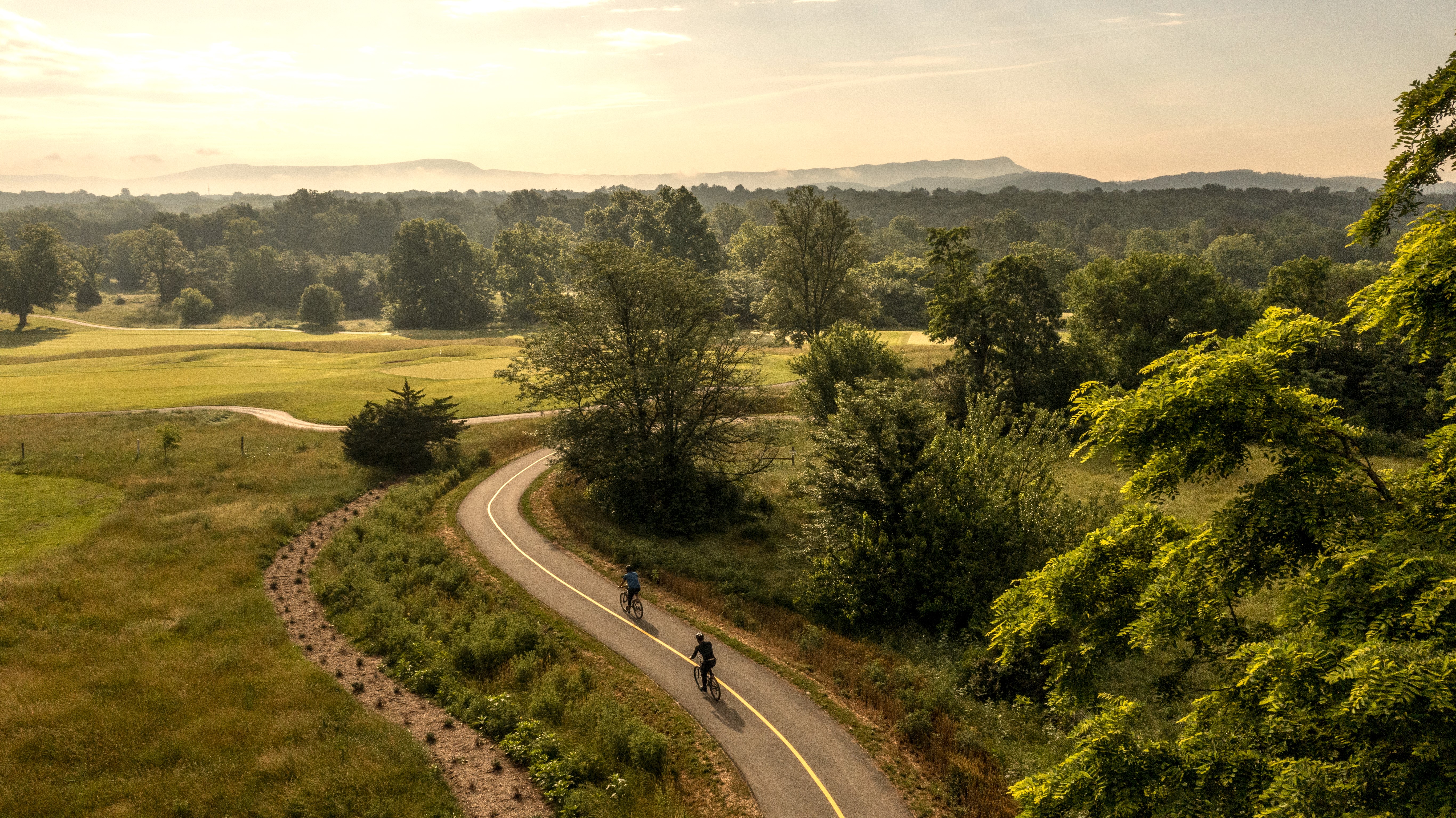
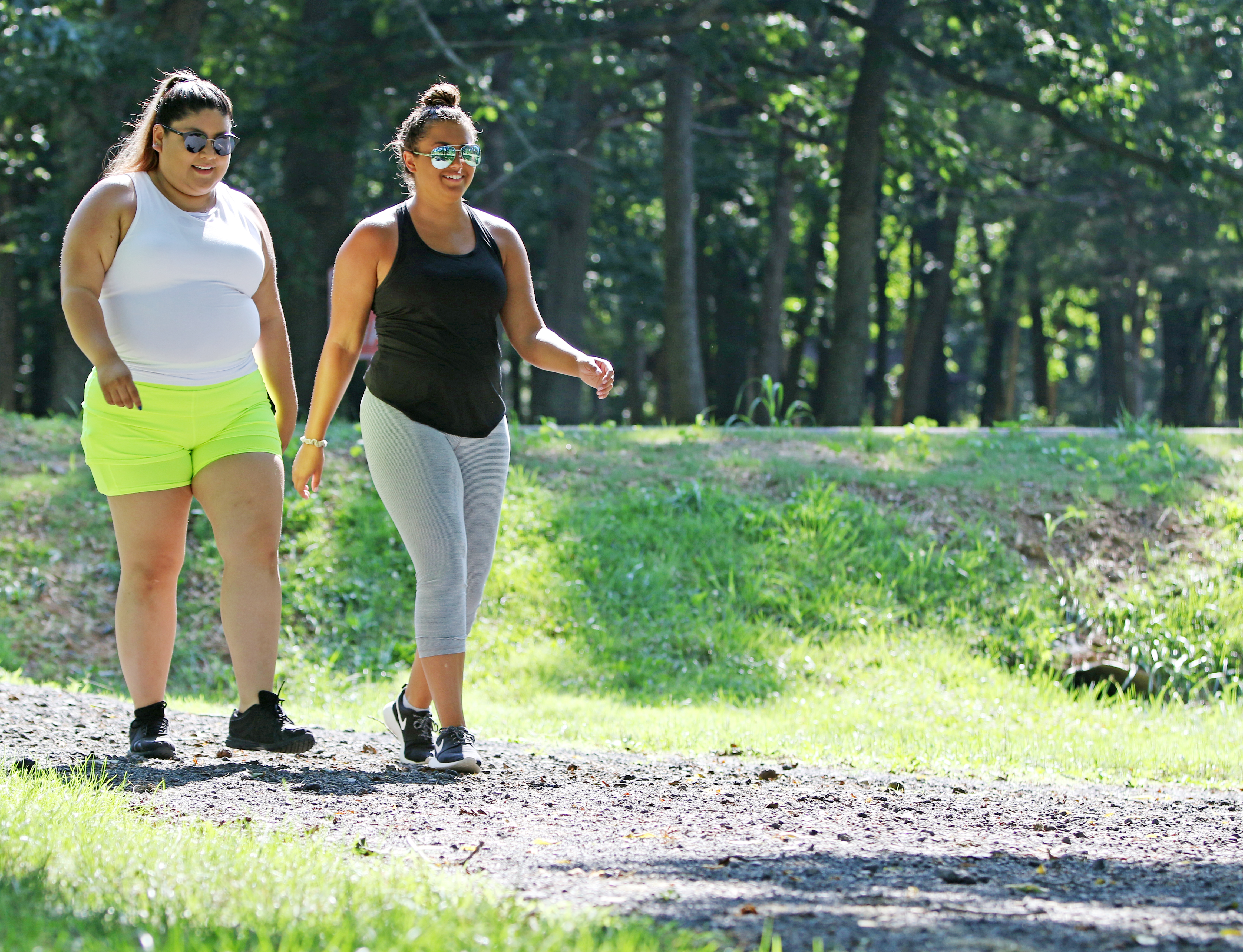
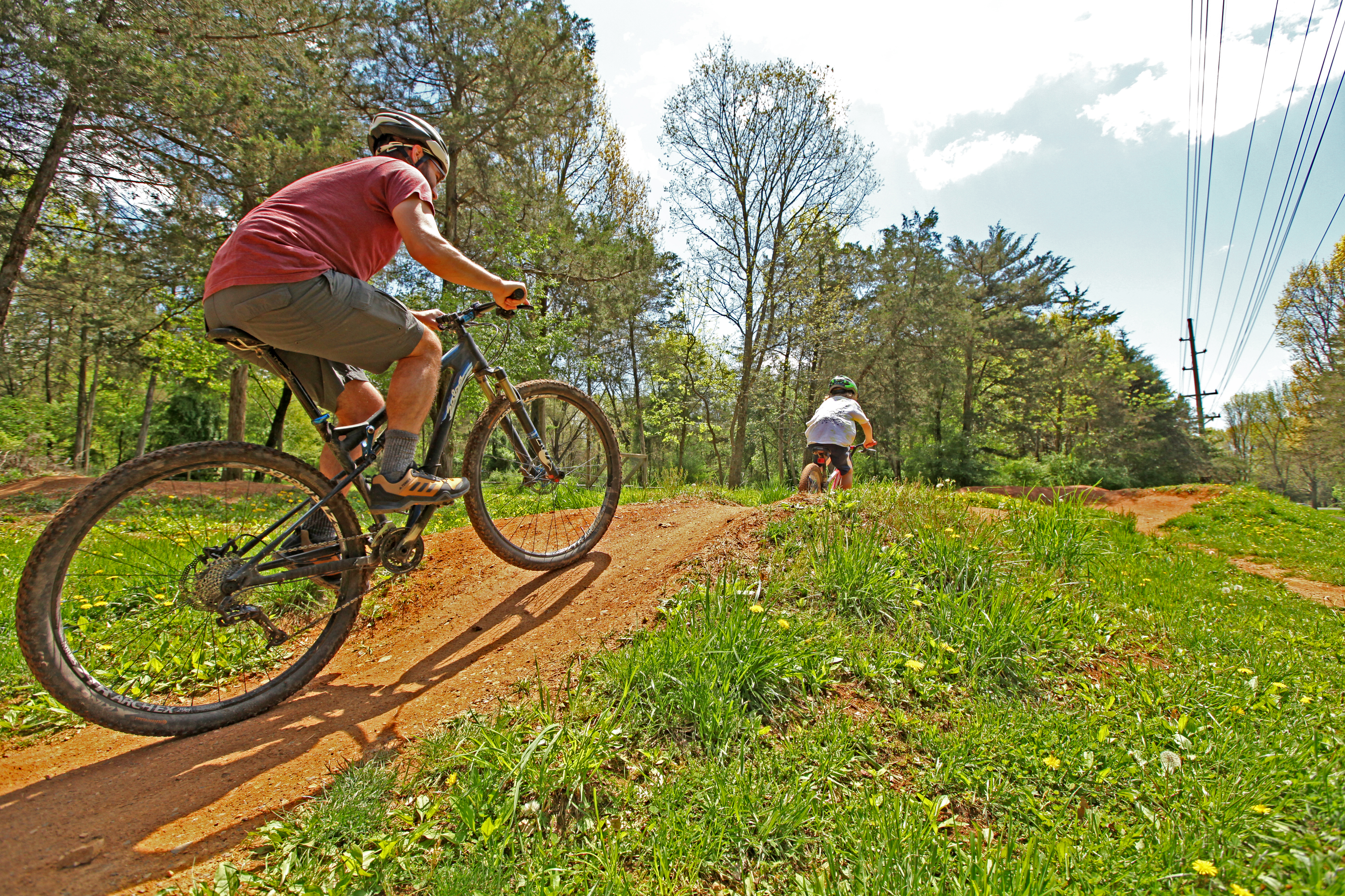
- Rocktown Trails & Hillandale Park
Rocktown Trails at Hillandale Park is a joint effort of Shenandoah Valley Bicycle Coalition volunteers and the International Mountain Bicycling Association (IMBA). The trail system offers three different levels of difficulty to appeal to a complete spectrum of runners, walkers and cyclists from novice to expert. Designed and developed in accordance with the IMBA guidelines for sustainable shared-use trails, it has a system of stacked loop trails with three levels of difficulty.
There are two entrances to the trails: (1) in the parking lot across from Shelter #11 in Hillandale Park for vehicular parking and (2) for pedestrian and cyclist users at the far west end of South Avenue where South Avenue intersects with South Dogwood Drive (no vehicular parking allowed).
The trails are also open to runners and walkers.
Trail Information
Challenge level: easy, medium, hard
Distance: multiple options (easy loop is 1 mile)
Elevation change: 29 feet on the easy loop, grades up to 15% on easy loop
Terrain: Hard surfaced trail with short on-street connections
Parking: Parking is available at Hillandale Park and Westover Park.Hillandale Map with walking paths [PDF].
- Heritage Oaks Golf Course
Heritage Oaks Golf Course has miles of cart paths that are open for walking prior to 8:00am.
Golf Course Map with walking paths [PDF]
Learn more about planned and proposed biking and walking routes in Harrisonburg on our Transportation Projects page.
Check out full City biking and walking maps: