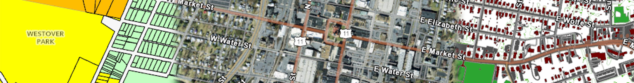
The City of Harrisonburg uses a Geographic Information System (GIS) to add location information to features within the City. This spatial information is used in systems to manage assets like water and sewer infrastructure, property boundaries, street signs and traffic signal devices, and address and street information. These data layers are used to help assess properties, manage assets, and guide emergency responders. Layers may be combined to create static maps for viewing and printing as well as dynamic web maps for exploring the City.
For questions about the web maps linked below or downloading data layers call 540-432-7706. For questions about property lines, addresses, and buildings call 540-432-7700.
- Online Maps
Access city online maps:
- Download GIS Data Layers
Use the link below to view GIS data that is available for download for use in GIS software.
- Static Map Files for Printing or Download
To inquire about PDF or other files for download of static maps, please call 540-432-7706.
Examples of files available include: City Street Map, School Attendance Zone Map, Voting Districts and Precincts Map, City Tax Maps, and City Parks Maps
- Other GIS Resources
Find out more about GIS and other related online information using the following resources:
Disclaimer: The information contained in these pages is not to be construed as a "legal description". Map and/or report information is believed to be accurate but accuracy is not guaranteed. Any errors or omissions should be reported to the GIS Administrator of the City of Harrisonburg, Department of Information Technology. In no event will the City of Harrisonburg be liable for any damage, including loss of data, lost profits, business, interruption, loss of business information or other pecuniary loss that might arise from the use of these maps and/or reports or the information they contain.